


New to 3D Capture? Start Here
Galois Tutorial
A complete guide for new users before getting startedView More3D Tour Activation
Step-by-step instructions to activate your project.View MoreConsole Management Backend
Learn more about the Realsee management backend.View More3D Tour Editor Overview
Explore all key features of the 3D Tour editor dashboard.View MoreSupported 360 Cameras
Check compatibility with our app and hardware.View MoreMobile Phone Capture
Best practices and tips for mobile scanningView More
Discover Realsee's hardware and features
 HOT
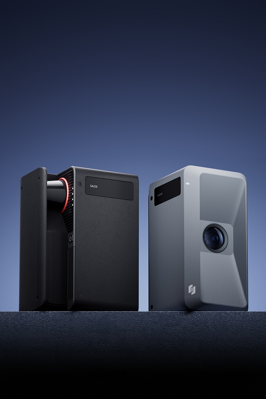
HOTGalois 3D LiDAR Camera
Professional 3D scanner with LiDAR+CMOS for automated, precise spatial capture.
View More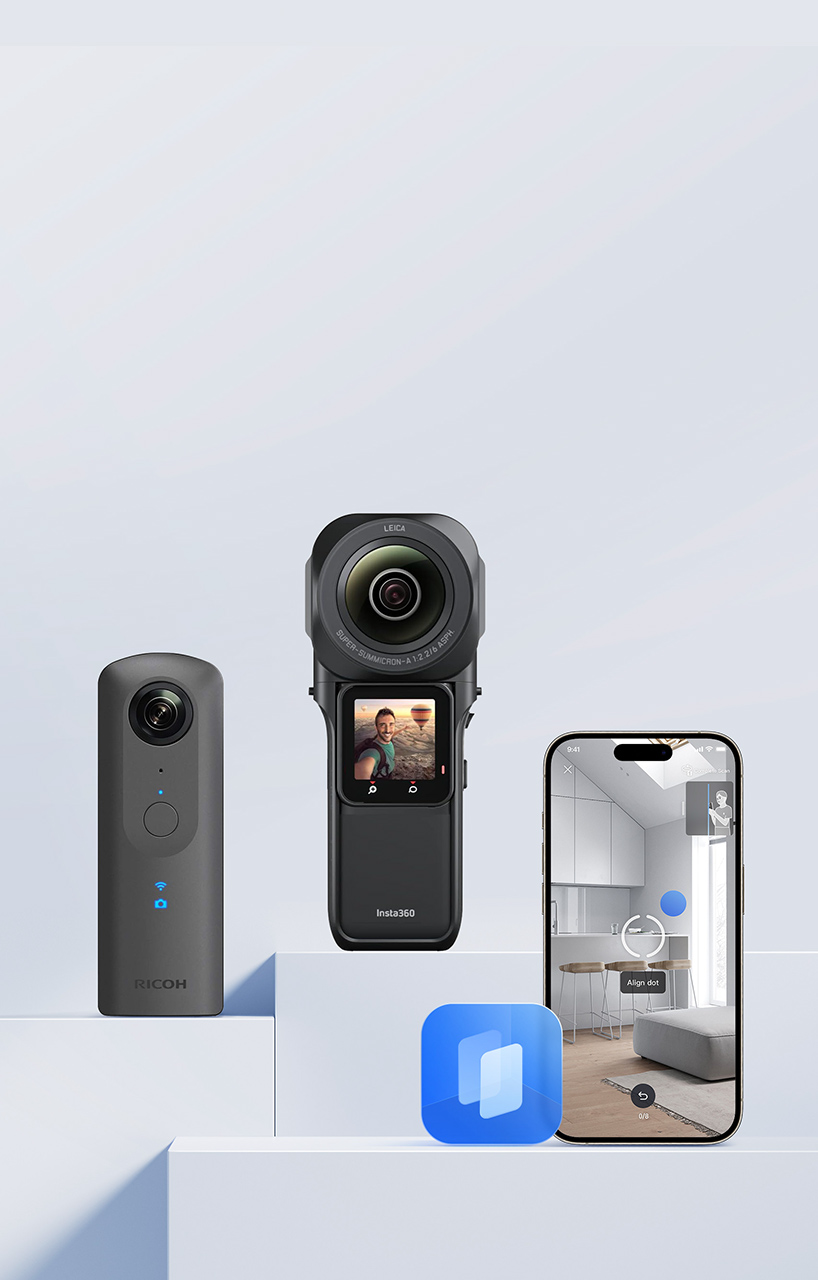
360°Camera
One-click VR processing for Insta360/Ricoh cameras.
View More
Realsee G1
Lightweight gimbal enabling pro-grade scans via smartphone.
View More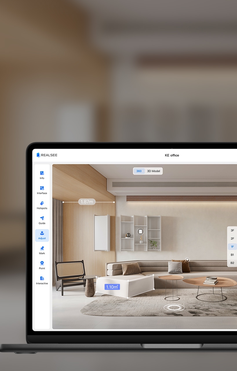
VR Editor: PC
Quickly learn how to use the project editing functions supported by the editor backend.
View More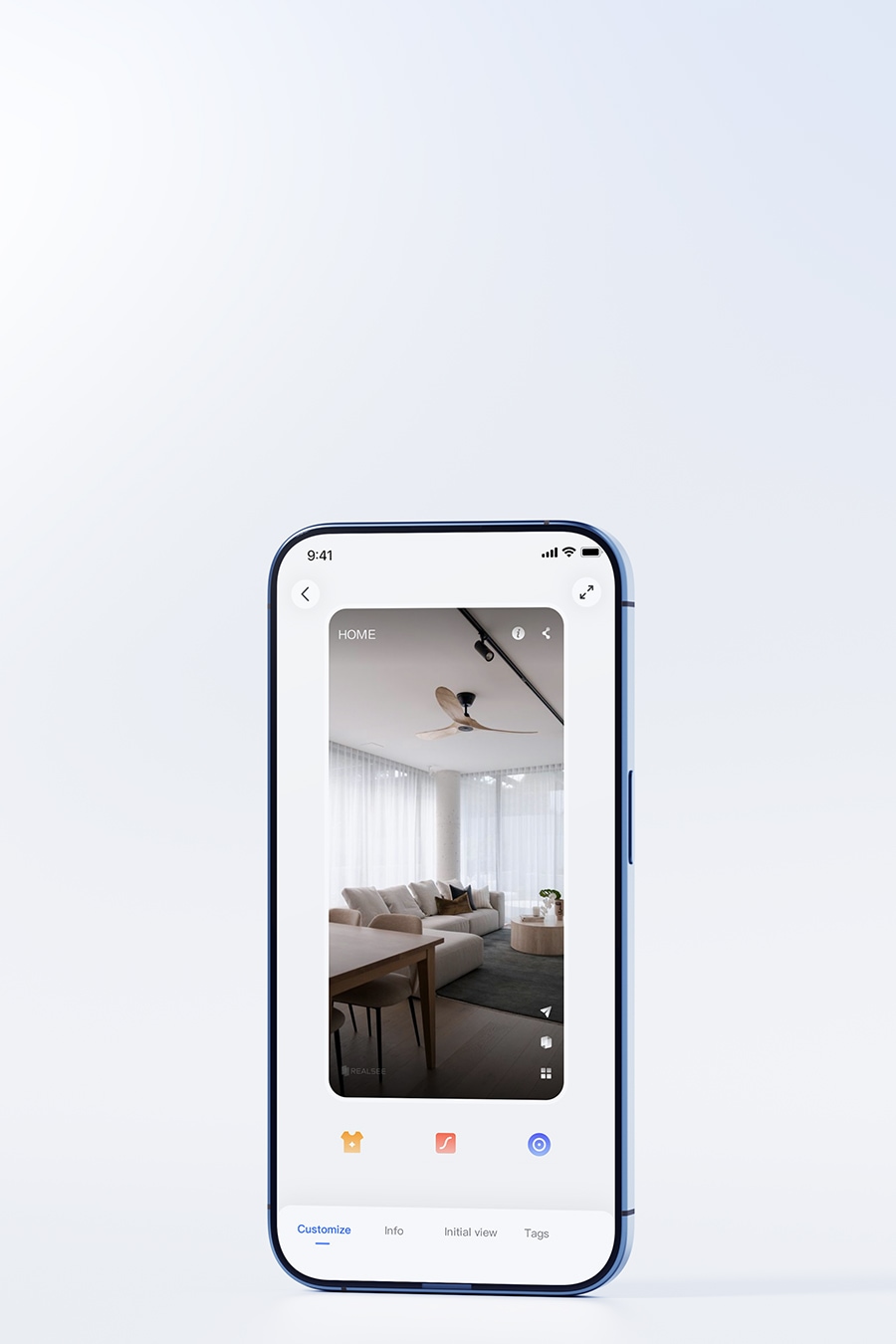
VR Editor: Mobile
Dive into the details of the editor backend in Realsee VR App to explore its features and functionalities.
View More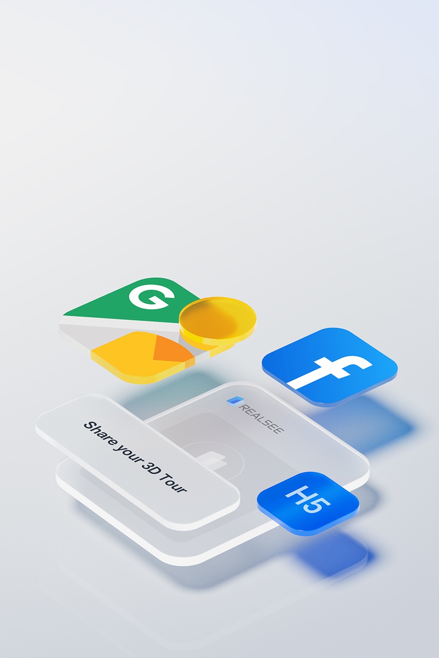
External Sharing
Share projects to Google Street View.
View More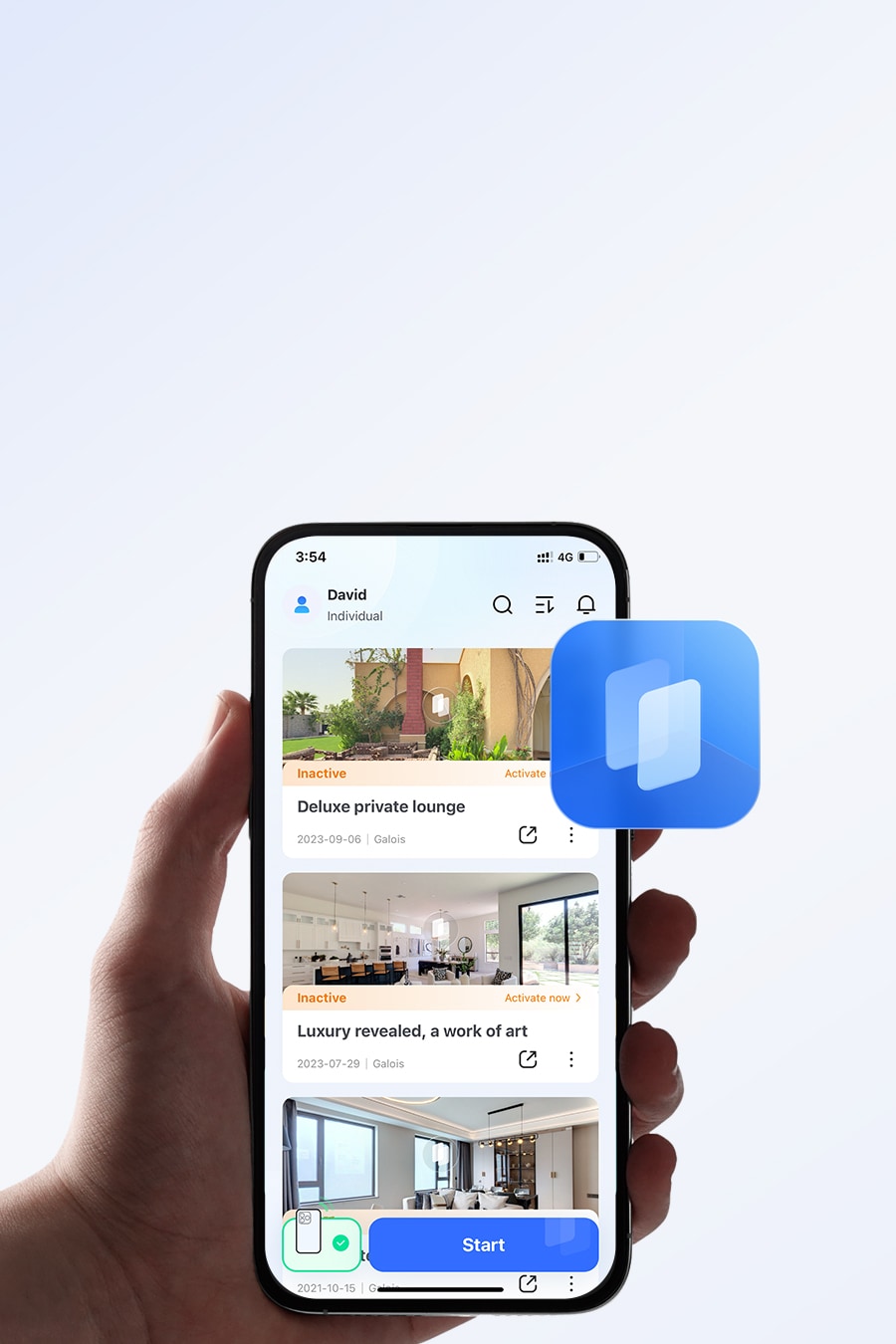 Free Download
Realsee VR App
Your all-in-one 3D capture solution - effortlessly digitize spaces in minutes.
View More
Console
Your all-in-one platform for VR project administration - control assets, teams, and deliverables in one place.
View More
Team Management
Enable multi-user cooperative capture for streamlined project workflows.
View More

Discover more advanced features
Complex Scene Capture
Step-by-step guide for multi-floor & stairwell scanning.View MorePoint Setup & Configuration
How to set scan points and optimize settings.View MoreFloor Plan Editing
Comprehensive tools for 2D layout customization.View MorePano to 3D
Transform panoramic images into 3D models seamlessly.View MoreWatermark Management
Learn how to add and remove watermarks.View MoreVR Glasses Mode
Immersive viewing setup and controls.View More
Frequently Asked Questions
View More FAQsWhy can't users explore certain points of the 3D virtual tour link?
This usually happens when certain areas are blocked during the scanning process.
For example, doors or pathways might have been closed, or people or objects may have obstructed the scanner's view.
To ensure smooth navigation in the VR tour, it's important to keep all doors or pathways consistently open and clear during capture.
Can I use Galois to co-capture the same space with others simultaneously?
Why is it taking a bit long to upload project data?
Can I invite other people to edit the project ?
How to protect private information (eg. license plate) in projects?
How do I download resources(pointcloud) to use offline?

Get in Touch
If you encounter any issues during use, please first refer to our Knowledge Base.
If the information does not resolve your problem, kindly complete the form and detail your request.
Our team will respond to you promptly.